Trimble RealWorks software imports rich data from a Spatial Imaging sensor--e.g. the Trimble GX 3D Scanner or Trimble VX Spatial Station--for transformation into compelling 3D visuals. Trimble RealWorks is ideal for the surveying and geospatial industries. It is powerful enough to support the large datasets collected using 3D scanning techniques.
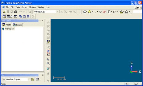
Trimble RealWorks office software imports 3D scanning data from Spatial Imaging sensors Trimble RealWorks enables users to register, visualize, explore and manipulate as-built or scene point cloud data. It incorporates precision tools, modeling, and empowering features suited to civil survey, building, heritage, and forensic applications, plus many different areas of the geospatial industry.
Comments